Barry County Plat Maps - 1840
- Title
- Barry County Plat Maps - 1840
- Subject
- MI.BarryCounty.Maps
- Description
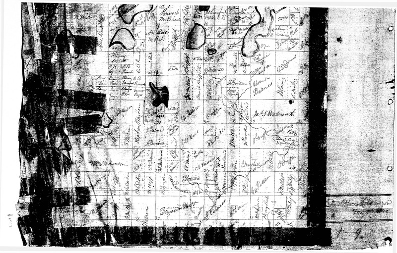
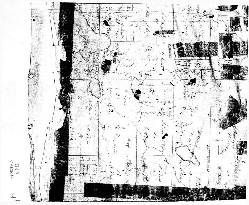
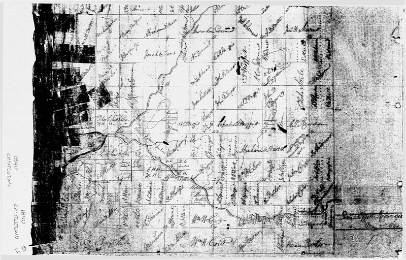
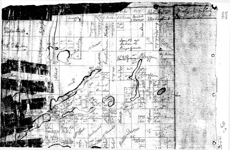
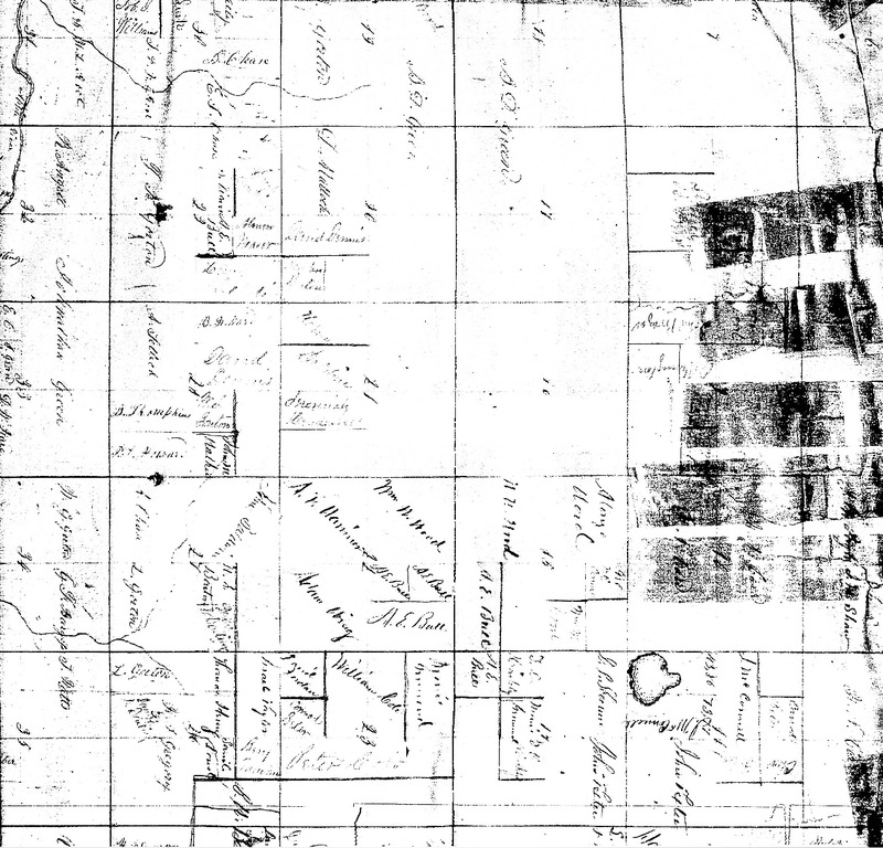
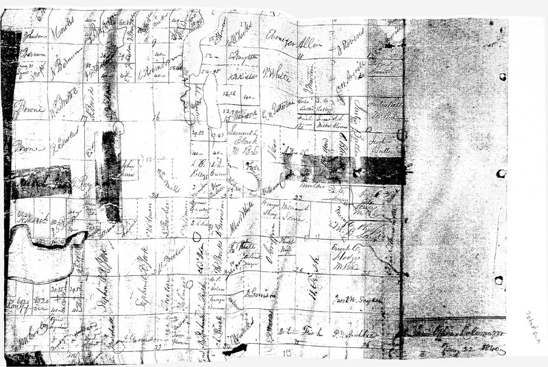
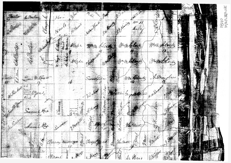
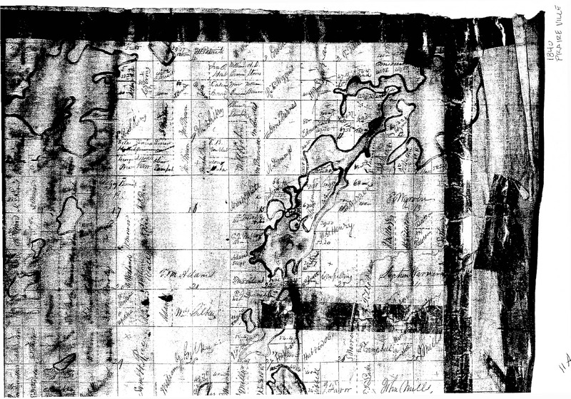
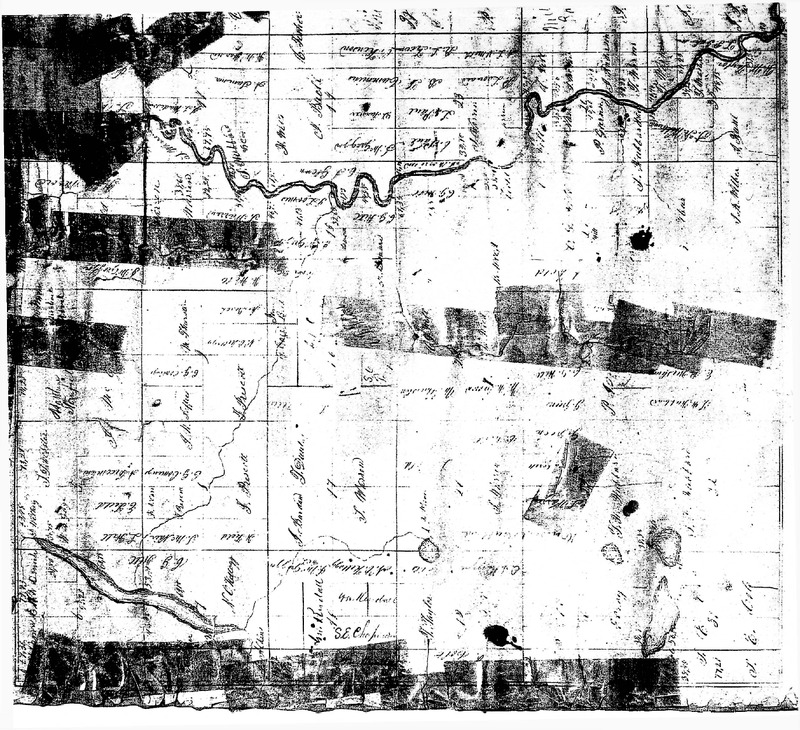
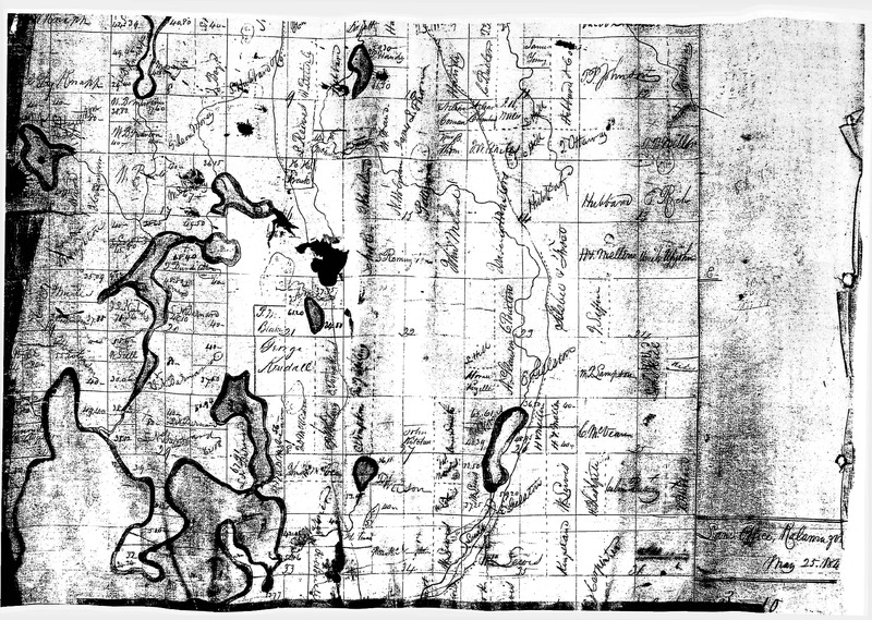
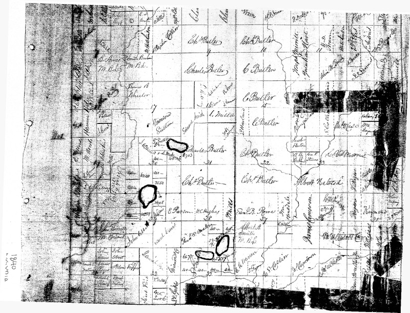
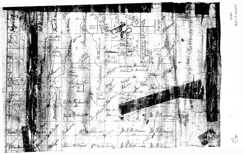
- Scans of plat maps of all Townships in Barry County for 1840.
Quality is poor as scans come from low-quality copies.
Dublin Core
Collection Items
-
Map of Assyria Township, 1840
Map of Assyria, 1840. We are not 100% sure this is Assyria, but this township has the highest possibilty of being correct. There are two pages of the same map, however, one page shows more detail on the bottom of the page, and the other page shows more detail on the top of the page. -
Map of Baltimore Township, 1840
Map of Baltimore, 1840. There are two pages of the same map, however, one page shows more detail on the bottom of the page, and the other page shows more detail on the top of the page. -
Map of Barry Township, 1840
Map of Barry, 1840. There are two pages of the same map, however, one page shows more detail on the bottom of the page, and the other page shows more detail on the top of the page. -
Map of Carlton Township, 1840
Map of Carlton, 1840. There are two pages of the same map, however, one page shows more detail on the bottom of the page, and the other page shows more detail on the top of the page. -
Map of Castleton Township, 1840
Map of Castletown, 1840. There are two pages of the same map, however, one page shows more detail on the bottom of the page, and the other page shows more detail on the top of the page. -
Map of Hope Township, 1840
Map of Hope, 1840. There are two pages of the same map, however, one page shows more detail on the bottom of the page, and the other page shows more detail on the top of the page. -
Map of Irving Township, 1840
Map of Irving, 1840. There are two pages of the same map, however, one page shows more detail on the bottom of the page, and the other page shows more detail on the top of the page. -
Map of Johnstown Township, 1840
Map of Johnstown, 1840. There are two pages of the same map, however, one page shows more detail on the bottom of the page, and the other page shows more detail on the top of the page. -
Map of Maple Grove Township, 1840
Map of Maple Grove, 1840. There are two pages of the same map, however, one page shows more detail on the bottom of the page, and the other page shows more detail on the top of the page. -
Map of Prairieville Township, 1840
Map of Praireville, 1840. There are two pages of the same map, however, one page shows more detail on the bottom of the page, and the other page shows more detail on the top of the page. -
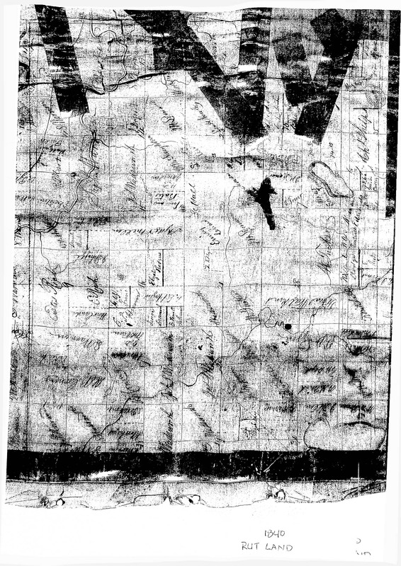
Map of Rutland Township, 1840
Map of Rutland, 1840. There are two pages of the same map, however, one page shows more detail on the bottom of the page, and the other page shows more detail on the top of the page. -
Map of Thornapple Township, 1840
Map of Thornapple, 1840. There are two pages of the same map, however, one page shows more detail on the bottom of the page, and the other page shows more detail on the top of the page. -
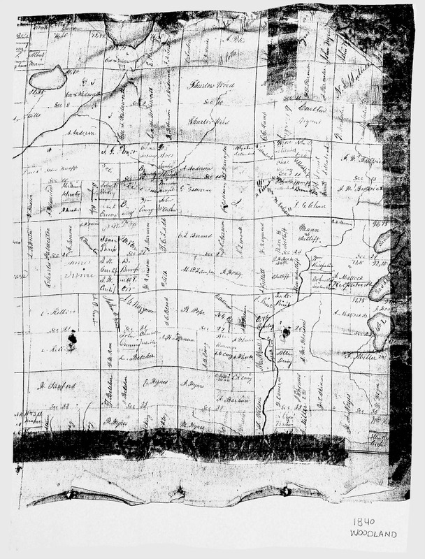
Map of Woodland Township, 1840
Map of Woodland, 1840. There are two pages of the same map, however, one page shows more detail on the bottom of the page, and the other page shows more detail on the top of the page. -
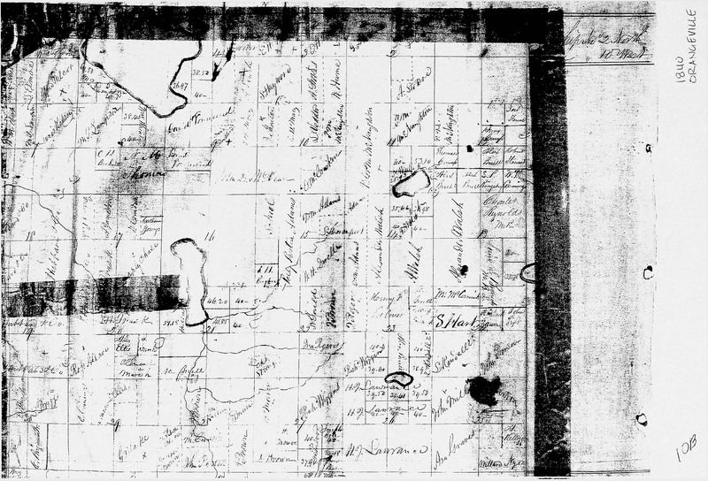
Map of Orangeville Township, 1840
Map of Orangeville, 1840. -
Map of Yankee Springs Township, 1840
Map of Yankee Springs, 1840. There are two pages of the same map, however, one (page 1) shows more detail on the bottom of the page, and the other (page 2) shows more detail on the top of the page.
Collection Tree
- Maps
- Barry County Plat Maps - 1840